
ABOUT THIS SERVICE
Accurate Data. Better Decisions.
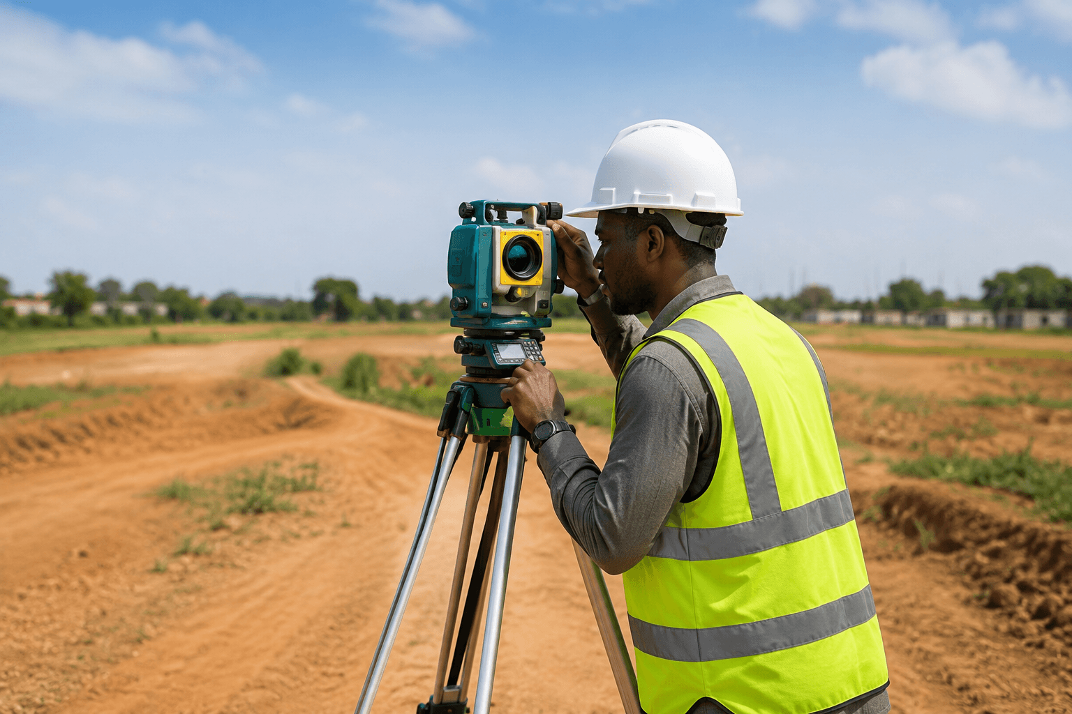
Our surveying and mapping services provide precise measurements and geospatial data for projects of all sizes. We combine advanced equipment, technology, and skilled professionals to deliver results that support planning, design, and development.
From land surveys to topographic mapping, we ensure accuracy, reliability, and efficiency at every stage of your project.

WHAT WE DO
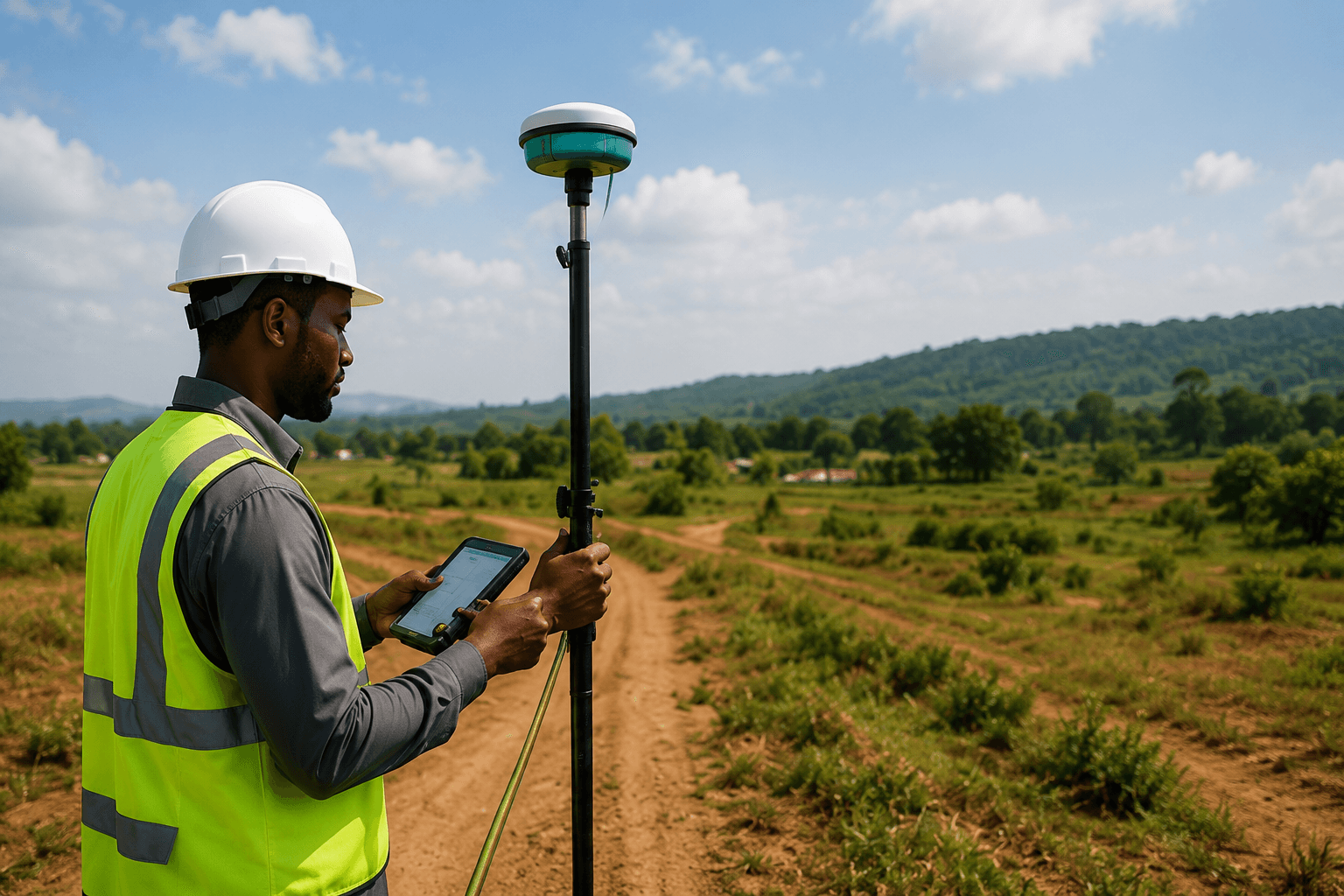
Our Surveying & Mapping Services
Topographic Survey
We capture detailed information about the natural and man-made features of the land.
Land Mapping
We create accurate maps for land planning, development, and property documentation.
Construction Layout
We set our precise points and levels to guide construction activities and ensure accuracy.
Volumetric Survey
We calculate accurate cut and fill volumes for earthworks using advanced technology.
WHY CHOOSE US
Precision You Can Rely On.
High Accuracy
We use advanced equipment to deliver precise and reliable data.
Experienced Team
Our surveyors are skilled, certified, and committed to quality results.
Modern Technology
We leverage the latest tools and software for efficient and accurate surveys.
Reliable Data
Our data helps you plan, design, and execute with confidence.
Ready to Build Your Dream Project?
Let's bring your vision to life with quality and precision.